
Waterbury, CT 06708
203-426-3322
We have an Extensive Inventory of Library Aerial Photography Available for Large Scale Mapping Projects
2001 - 2018
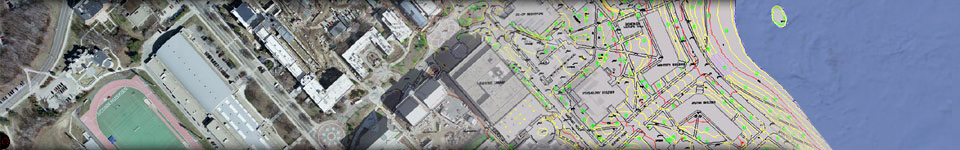
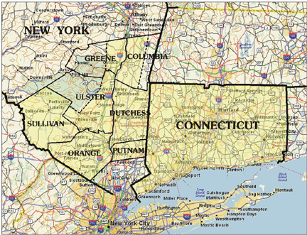
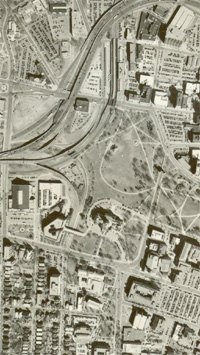
Library Aerial Photo Coverage of Connecticut and New YorkGolden Aerial Surveys has expanded it's inventory of Library Aerial Photography which results in photo coverage for the Entire State of Connecticut and target areas in the State of New York. The photo scale of 1"=500', Black & White and 7cm GSD, RGB 8-Bit imagery.
This imagery can be used to produce topographic mapping at a scale as large as 1"=40' with a 2 foot contour interval.
Contact us with your Project Location and Specifications and we will let you know the Exact Date of Photography for your Requirements.
Visit www.mytopo.com and select "Online Maps" to Download or Print the USGS Quad map which covers your project location.
| Home | The Latest News | Company Profile | Services | Contact Us | Links | Library |
All
images ©2005 Golden Aerial Surveys 26 Lakeside Blvd. E Waterbury, CT 06708
No images may be downloaded, copied or used without expressed permission.