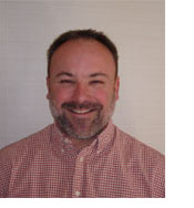
Experience He began his career in photogrammetry with the Federal Government working for the Army Map Service, Corps of Engineers for 4 years and then spent 17 years in the private sector learning about all phases of the mapping industry. He has actively worked in a production capacity in photogrammetry which has included: analytical and digital map production; ink drafting; scribing; control surveys; stereo compilation; CAD edit and quality control; aerial photography; photo lab reproduction; flight planning; estimating and client relations. In 1984, he established Golden Aerial Surveys, Inc. and for the last 28 years he has been able to build a solid reputation based on honesty, always providing clients with the best products and service that technology will allow. Registrations & Certifications Professional Affiliations |
 Richard
A Markey Richard
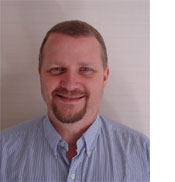
A MarkeyVice President, Office Manager Experience Professional Affiliations |
 Edward
A Dilport Edward
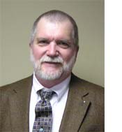
A DilportVice President, Photogrammetry Experience Mr. Dilport is responsible for development and production of our Digital Ortho Photo capability using LH Systems Digital Photogrammetric Workstation. He produces our Digital Ortho Images that are used for underlays for GIS data base development and for our photogrammetric map production. Professional Affiliations |


